Remove Disaster Remove Local Remove Map Remove Mobile
article thumbnail

Giving Trends in Kenya: How the Growth of Mobile Payments Are Transforming Community Giving

Nonprofit Tech for Good

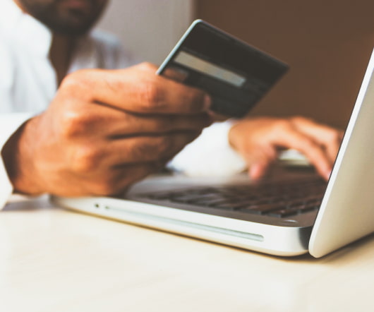
In the local context, Kenyan’s give an extremely high proportion of their earnings as donations (cc. Further, most Kenyans do not use credit cards, instead the majority of the population use mobile payments and cash. M-Changa strives to make it convenient for local NGOs to accept both mobile and card payments.

Kenya 197
article thumbnail

Citizen Tech: Social Media in Disaster Response

Amy Sample Ward

My contribution to the panel is to provide context about the use of social media in emergency and disaster response as well as an overview of some of the tools we saw deployed last year and we may see in the future. Some include the Red Cross, The Weather Channel, local newspapers, Craigslist, and others. Citizen-Powered Response.

Disaster 206
professionals

Sign Up for our Newsletter

This site is protected by reCAPTCHA and the Google Privacy Policy and Terms of Service apply.

article thumbnail

Apps for Disaster Planning

Tech Soup

TechSoup recently updated its disaster planning and recovery guide, The Resilient Organization , to include the new ways nonprofits, charities, and public libraries are using technology. One of the big additions to the guide is a section on backing up a mobile phone or tablet. by Symantec (Android, iOS) before disaster strikes.

article thumbnail

Technology's Impact on Disaster Relief

Tech Soup

Mobile technology, web apps, and mapping software have become enormously helpful in sharing news and spreading information about relief efforts after Hurricane Sandy. has an interactive map that shows the flooding and weather information post-Sandy. Google's Hurricane Sandy map currently shows areas with power outages.

article thumbnail

Cool App Roundup: Disaster and Emergency Edition

Tech Soup

This edition of the App It Up project "Cool App Roundup" highlights different ways apps can be used in disaster, crisis, and emergency situations. Preparing for Disaster. The FEMA app includes preparation guidelines for a variety of disasters, including checklists, safety tips, and local shelter maps.

article thumbnail

Webinar Recap: The Future of the Map

NTEN

Mapping data can help nonprofits monitor protests and election violence, decide where to buy repossessed homes to convert into affordable housing, determine how and where to deliver supplies and aid in disaster-stricken areas – and document zombie invasions. Do you use GIS systems in your work?

Map 56
article thumbnail

The Social Media Response to Disaster in Haiti

NTEN

When disaster strikes, we want information as soon as possible and we want to help just as quickly. Whether we look at mapping tools, fundraising, or missing person systems, the social media response to the January earthquakes in Haiti all leverage the powerful technology we can hold in our hands: our mobile phones. Fundraising.

Haiti 82