Remove Map Remove Poll Remove Support Remove United States
article thumbnail

Geo-Tagged Map Shows Impact of Hurricane Joaquin in Real Time

VisionLink

Map illustrates damage reports as hurricane hits North Carolina. 5, 2015— VisionLink , a community inspired software and consulting company, has developed a free, shareable, real-time, geo-tagged map depicting actual damage reports produced by Hurricane Joaquin. BOULDER, Colo. —

Hurricane 100
article thumbnail

Candid Data for Academics: Go back to school with better data 

Candid

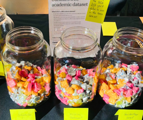
For parents, it might mean shopping for supplies and mapping out carpool schedules. This is why, with support from the Alfred P. We also conducted a (highly unscientific) candy-poll at ARNOVA ’s conference last November. Research about the social sector is growing in the United States and around the world.

Data 98
professionals

Sign Up for our Newsletter

This site is protected by reCAPTCHA and the Google Privacy Policy and Terms of Service apply.

article thumbnail

To Strengthen Democracy in America, Think Tech

Tech Soup

Democracy platform reveals the state of nonprofit technology funding in a critical area in some detail. This new free online data visualization and mapping tool demonstrates the value of applying technology to philanthropy, in this case, creating a place to find out how and where foundations are supporting U.S.

America 36
article thumbnail

106 Free or Low-Cost Online Tools and Resources for Nonprofits

Nonprofit Tech for Good

It’s advocacy tools help organizations worldwide advance their causes and mobilize new supporters. Mapme is a web-based platform for creating, sharing, and embedding online maps. GoToWebinar enable organizations to host webinars with VOIP audio or toll free numbers, polls, analytics, and recording. Issuu :: issuu.com.

Resource 279