article thumbnail

Culture, Community, and Technology—A Successful 2022 Convergence

.orgSource

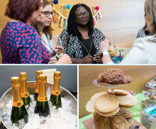
Our headliners, Tiffany Kerns and Al Dea, provided unique perspectives on the intersection of culture and technology. You can’t use an old map to explore a new world,” is wisdom from Albert Einstein that Al uses to explain his perspective on navigating change. “To The “fun stuff” at Solutions Day.

Culture 221
article thumbnail

Terms and Trends in DIY and Open Source Online Maps

NTEN

Implementing truly gorgeous online maps still requires some custom code and technical know-how – but, the cost and learning curve involved has dropped considerably. Online maps provide a concrete, quickly digestible way to drive home the connection between your organization's work and where it takes place. ThinkShout.

professionals

Sign Up for our Newsletter

This site is protected by reCAPTCHA and the Google Privacy Policy and Terms of Service apply.

article thumbnail

Wearable Computing: Sussing Out the Frontiers of Nonprofit Technology

Tech Soup

last week to see what’s really going on in the frontier of nonprofit technology: wearable devices. As luck would have it, I got to chatting right away with Ned Malik, CTO of Vision Online , a DC-based company that provides cutting-edge information technology to government. It also can map turn-by-turn directions for you.

article thumbnail

6 Great Interactive Data Visualization Tools (Part 1)

NTEN

Websites are loaded with eye candy these days — from slick user interfaces to interactive maps to cool photo slideshows — all achieved without Flash, just HTML, CSS and Javascript. And these technologies are free, open and can be utilized in essentially every current web-browsing device.

article thumbnail

Reverse Engineering the Nissan Leaf's Range Display

Beneblog: Technology Meets Society

About halfway to Palo Alto, Jim did a quick calculation with his smartphone using Google Maps: he figured we would run out of juice about at the middle of the Dumbarton Bridge , the southernmost bridge over the San Francisco Bay. Low and behold, just after passing the apex of the bridge, the display flashed and our range went dark.

article thumbnail

Vote for DataMasher in Apps for America 2

Forum One

The result displays in table format as well as visualized on an interactive, "heat," Flash-based map of the United States. Tags: Communication Government Transparency Strategy Technology. We conceived "DataMasher" -- a web application that allows users to "mash-up" two sets of state data using an operator of their choice.

America 54
article thumbnail

Stay Connected with Donated Smartphones from Dell

Tech Soup

Bing Maps: a mobile app for finding locations, mapping directions, and predicting traffic conditions; it can also integrate with other online services to overlay data on top of maps. inch touch screen and slide-out QWERTY keyboard; 8 GB or storage; five-megapixel camera; GPS; and full Adobe Flash support.